Coastal Landscape Development (AQA A Level Geography)

Topic Questions

1
Sme Calculator
20 marks
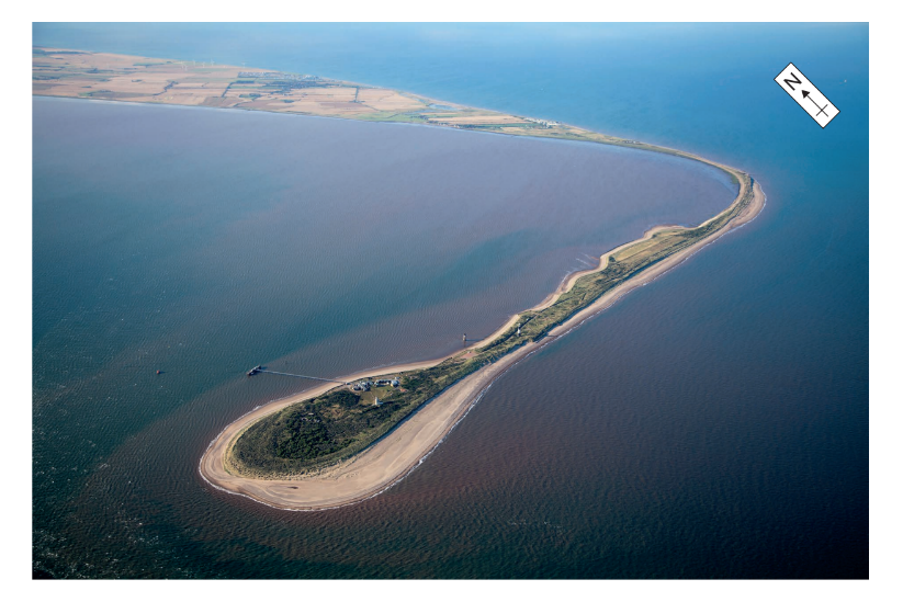
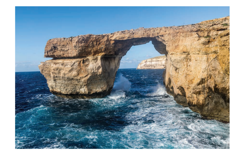
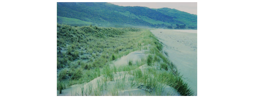
‘No amount of coastal intervention by people can halt the natural processes which continue to present potentially serious risks to coastal communities now and even more so in the future.’

To what extent do you agree with this view?
[20]

Did this page help you?

2
Sme Calculator
6 marks

Figure 6 is a photograph of a landform located in the Humber Estuary, UK.

Figure 6

fig-6-paper1-nov2021-aqa-alevel-geography

Note: This landform extends about 5 km across the Humber Estuary and is only 50 metres wide at its narrowest point. The Holderness coastline to the north comprises mainly boulder clay, which is unconsolidated material deposited at the end of the last ice age.

Using Figure 6 and your own knowledge, assess the relative importance of factors leading to the development of this landform.

[6]

Did this page help you?

3
Sme Calculator
6 marks

Figure 5 shows the isostatic adjustment in 2010 (green arrows) for selected recording stations in Greenland. Information on the 2010 melting day anomaly is also shown.

Figure 5 – the isostatic adjustment in 2010 (green arrows) for selected recording stations in Greenland. Information on the 2010 melting day anomaly is also shown.

fig-5-inserts-paper1-nov2020-aqa-alevel-geography

Note: 1. Melting day anomaly refers to the extra days of melting relative to the 1979–2009 average.
  2. Isostatic adjustment refers to the change in the land level relative to sea level.

Analyse the relationship between isostatic adjustment and the 2010 melting day anomaly in Greenland as shown in Figure 5.

[6]

Did this page help you?

4
Sme Calculator
6 marks

Figure 6 is a photograph of a coastal feature, taken in Malta in 2017.

Figure 6

fig-6-paper1-nov2020-aqa-alevel-geography

Using Figure 6 and your own knowledge, assess the view that rock type is the most important factor in the development of this landscape

[6]

Did this page help you?

5
Sme Calculator
20 marks
With reference to a coastal environment at a local scale, assess the predicted impact of climate change upon the landscape.
[20]

Did this page help you?

6
Sme Calculator
4 marks
Explain the development of saltmarsh environments.

[4]

Did this page help you?

7
Sme Calculator
6 marks

Figure 6 is a photograph of a stretch of coastline in the Mahia Peninsula, North Island, New Zealand.

Figure 6

fig-6-paper1-june2019-aqa-alevel-geography

Note: In New Zealand, there is a variety of coastal dune landforms. The dunes in Figure 6 are relatively small shore-parallel foredunes located immediately behind the beach. Dunes can be made up of a variety of surface dune types. They can form hills and ridges which can rise to a hundred metres or more above the shoreline and represent long-term accumulations of large volumes of sand.

Using Figure 6 and your own knowledge, assess the role of vegetation in the development of this landscape.

[6]

Did this page help you?

8
Sme Calculator
4 marks
Outline the processes which lead to the development of barrier beaches.

[4]

Did this page help you?

9
Sme Calculator
6 marks

Figure 6a indicates sea levels relative to land 20 000 years before present. The present day coastline is indicated for comparative purposes.

Figure 6b indicates present day sea levels.

Figure 6a

fig-6a-paper1-june2018-aqa-alevel-geography

Figure 6b

fig-6b-paper1-june2018-aqa-alevel-geography

Using Figure 6a, Figure 6b and your own knowledge, assess the potential impact of box these changes on coastal landform development in this area.
[6]

Did this page help you?