Glacial Landforms (AQA GCSE Geography)

Revision Note

Test Yourself
Jacque Cartwright

Expertise

Geography Content Creator

Erosional Landforms

  • As a glacier moves it erodes everything in its way
  • Glacial erosion creates different features as it flows downhill:
    • Pyramidal peak 
    • Arête  
    • Corrie/cwm/cirque
    • Tarn
    • Truncated spur
    • Hanging valley
    • Ribbon lake
    • Glacial trough/U-shaped valley

landforms-of-glacial-erosion

  • Pyramidal peak 
    • As the name suggests, this is a three-sided, pointed mountain peak
    • Formed when three or more back-to-back glaciers carve away at the top of a mountain
    • This creates a sharply pointed mountain summit
    • Examples include Snowdon in Wales and Buachaille Etive Mòr, Glencoe, Scotland 
  • Arête  
    • Arêtes are knife-edge, steep-sided ridges
    • Formed when two glaciers flow back-to-back
    • As each glacier erode either side of the ridge, the edges become steeper and the ridge narrower
    • This gives the arête it's a jagged profile
    • Examples include Crib Goch in Wales, and Striding Edge in Lake District England
  • Corrie/cwm/cirque
    • Corrie, cwm and cirques are all the same feature and are formed in hollows where snow can accumulate, usually on a north facing slope
    • In Wales corries are called cwms and in France they are called cirques 
    • Formed when the glacial ice moves through gravity, rotational slip, and sheer mass of the ice
    • Ice freezes on the back wall of the hollow and as the ice moves, it plucks the rock out, which steepens the back wall
    • Freeze-thaw, plucking and abrasion further erodes the hollow into a rounded, steep-sided 'armchair' shape with a lip at the bottom end
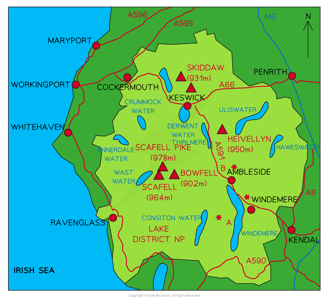
    • Examples include Helvellyn Corrie in the Lake District and Cwm Idwal in Snowdonia
  • Tarn
    • Tarn lake or corrie loch is a mountain pool or lake in a corrie after the glacier has melted 
    • Because of the corrie lip at the bottom end, the meltwater is held in place and a circular body of water is formed
    • Examples include Red Tarn, Helvellyn in the Lake District and Cadair Idris in Snowdonia
  • Truncated spur
    • Truncated spurs are past interlocking spur edges of past river action that have been cut-off forming cliff-like edges on the valley side
    • Found between hanging valleys and are an inverted 'V' shape 
    • Formed when past ridges/spurs are cut off by the lower valley glacier as it moves past
    • An example is Nant Ffrancon Valley in Snowdonia
  • Hanging valley
    • These are small tributary glaciers found 'hanging' above the main valley floor
    • When melting occurs, there are waterfalls onto the valley floor
    • An example is Cwm Dyli in Snowdonia
  • Ribbon lake
    • As a glacier flows it travels over hard and softer rock
    • Softer rock is less resistant to erosion, so a glacier will carve a deeper trough over this type of rock
    • When the glacier has melted, water collects in these deeper areas
    • This creates a long, thin lake called a ribbon lake
    • Examples include Lake Windermere in the Lake District and Llyn Ogwen in Snowdonia
    • The areas of harder rock left behind are called rock steps
  • Glacial trough/U-shaped valley
    • Glacial troughs are steep-sided valleys with a flat floor 
    • They start as V-shaped river valleys but due to the size and weight of the glacial ice it changes to a U shape as the glacier erodes the sides and bottom making the valley deeper and wider
    • Examples are found all over the UK, but Nant Ffrancon and Nant Gwynant in Snowdonia are good examples

Exam Tip

When explaining the formation of landforms of any kind (fluvial, coastal, glacial etc.) you should use labelled or preferably annotated diagrams to support your answer. 

A well annotated diagram showing the stages of formation will gain you full marks and a labelled diagram will gain you credit. 

Diagrams do not need to be flawless but a solid representation of the feature and follow the geographical rules:

  •  In a box, drawn in pencil and labelled/annotated in pen
  • Arrows drawn with a ruler, in pencil and points to the feature (not the writing) and never cross
  • Shade in colour to highlight features
  • Labelling should ideally be around the outside, but can be on the feature
  • If annotating, you can use numbers on the sketch and write below the diagram in sequence 

Landforms of Transportation & Deposition

Moraines

  • Unsorted glacial till that is deposited in mounds are called moraines
  • There are four types of moraines:
    • Terminal: Material deposited at the snout of the glacier
    • Lateral: Material is deposited along both sides of the glacier
    • Medial: Ridge of deposited material in the middle where two glaciers meet and continue to flow downhill together
    • Ground: Material dragged under the base of the glacier and deposited over a wide area on the valley floor

types-of-moraines

Drumlins

  • Drumlins are elongated, egg-shaped hills and made of glacial till
  • They form beneath the glacier when the glacier meets an obstruction and material is deposited as a ground moraine  
  • The moraine is then shaped by the moving ice, which follows the direction of the flow of ice
  • The largest ones can be over 1km in length, 0.5km wide and 50m high
  • Multiple drumlins are known as swarms or baskets of eggs
  • As the material is deposited it builds up to have a round, blunt and steep front (stoss) end 
  • The flow of ice over the top of the drumlin, drags the material along and down creating the lee slope
  • The lee is gently sloped, elongated and with a tapered tail 
  • Examples include The Drumlin Field below Cam Fell in the Yorkshire Dales and Conway Valley, North Wales

drumlin

Erratics

  • Erratics are random rocks of different sizes and types from the area they are found
  • There is no pattern to their deposition, and they look completely out of place on the landscape
  • Glaciers pick up large rocks and carry them hundreds, sometimes thousands of kilometres from where they originate
  • Erratics are carried deep in the ice and do not erode the same as rocks at the edges of the glacier
  • An example is the Great Stone of Fourstones, (Big Stone)' on the moors of Tatham Fells, England

great-stone-of-fourstones

The Great Stone of Fourstones - erratics are random rocks that vary in size!

Worked example

Study the contour map and cross section showing 6 drumlins labelled A–F below.

Describe the shape of the drumlins shown in Figure 21.

fig-21-june-2020-paper1-qp-gcse-aqa-geo

Answer:

  • Elongated [1], egg shaped [1], oblong [1] oval [1]
  • Low/rounded hill with one side steeper than the other [1]
  • Allow other valid description

Case Study - Lake District, England

Background

  • Lake District, Cumbria Northwest England was covered in ice over 20,000 years ago and is an area with many glaciated landforms as well as England's tallest peak: Scafell Pike (978m)
  • Helvellyn is 950 metres above sea level and made predominantly of 450-million-year-old igneous rock 

map-of-lake-district

Erosional landforms

  • Helvellyn is an example of a pyramidal peak with two arêtes: Striding Edge and Swirral Edge
  • The back wall of Striding Edge forms Red Tarn corrie with Red Tarn Lake at its base
    • Red Tarn is on the eastern side of Helvellyn with a steep backwall, created through freeze-thaw weathering and plucking
  •  Ribbon lakes in glacial troughs can be found throughout the Lake District
    • Ullswater lies east of Helvellyn 
    • Coniston Water and the largest lake in the area, Windermere. are south of Helvellyn
    • Derwent, Thirlmere, Crummock and Ennerdale west of Helvellyn 

Depositional landforms

  • Fields in Borrowdale use the terminal moraines as boundaries between farm fields
  • Swarms of drumlins can be seen west of Helvellyn at Langdale in the central fells
  • The Bowder Stone, an erratic, estimated to be 2,000 tons, approximately 9m high, and 15m in diameter can be found at Borrowdale, west of Helvellyn

You've read 0 of your 0 free revision notes

Get unlimited access

to absolutely everything:

  • Downloadable PDFs
  • Unlimited Revision Notes
  • Topic Questions
  • Past Papers
  • Model Answers
  • Videos (Maths and Science)

Join the 100,000+ Students that ❤️ Save My Exams

the (exam) results speak for themselves:

Did this page help you?

Jacque Cartwright

Author: Jacque Cartwright

Jacque graduated from the Open University with a BSc in Environmental Science and Geography before doing her PGCE with the University of St David’s, Swansea. Teaching is her passion and has taught across a wide range of specifications – GCSE/IGCSE and IB but particularly loves teaching the A-level Geography. For the last 5 years Jacque has been teaching online for international schools, and she knows what is needed to pass those pesky geography exams.